


We know Australia is close to New Zealand but how close actually is Australia from New Zealand? Let’s find out. So to find out the distance, we are simply using the Google’s “measure distance” feature!
Distance from New Zealand to Australia
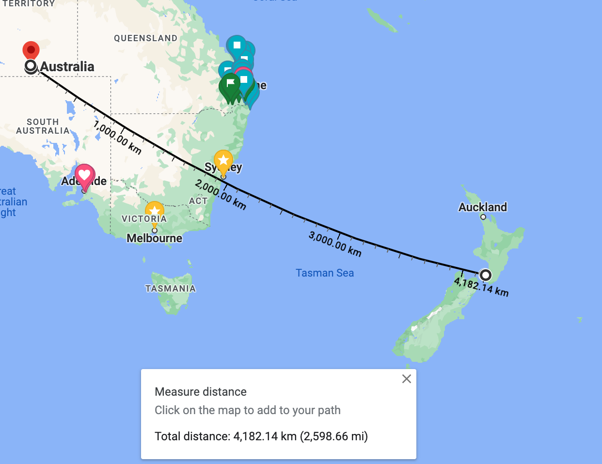
The distance between Australia and New Zealand is approximately 4,182km or 2,598 miles.
We are looking at “centre to centre” and not looking at the closest point between Australia and New Zealand.
Where is the closest point from Australia to New Zealand?
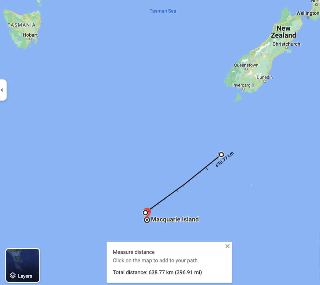
The places with the shortest distance would be from Auckland Island (NOT Auckland, they are different) to Macquarie Island (which is part of Tasmania). Macquarie Island is also about halfway between New Zealand and Antarctica.
Shortest Distance from Australia to New Zealand
The distance between Auckland Island and Macquarie Island is approximately 638km or 396 miles.
How long is a flight to New Zealand to Australia?
Average flight duration from New Zealand to Australia is around 5 hours and it depends on where the flight takes off and the weather condition.
How did we get distance between countries on Google Map?
If you are unsure how we get the distance between Australia and New Zealand, here is the tips for you! To do that you just need to follow a few steps below.
- Go to Google Maps
- Right-click on your starting point
- Click “Measure distance” from the options list
- To create a path to measure, click another point you want to measure the distance on the map
- You should now see the distance between the 2 points!
Posts you might like
Check out our latest posts
 26
Jul
26
Jul
How to Maximise Your Annual Leave in 2027 (Every State, Sorted)
 26
Jul
26
Jul
Melbourne Cup Trivia: 84 Questions & Answers
 26
Jul
26
Jul